Ponce Inlet FL Map: Florida’s Tallest Lighthouse & Ponce de Leon Inlet Escape
Welcome to Ponce Inlet, Florida, a hidden gem where coastal beauty meets historical intrigue. Known for being home to the state’s tallest lighthouse, the Ponce de Leon Inlet Lighthouse stands tall amidst the enchanting surroundings. If you’re planning a visit, a map of Ponce Inlet is indispensable for navigating this picturesque locale and discovering the attractions nestled within its serene shoreline.
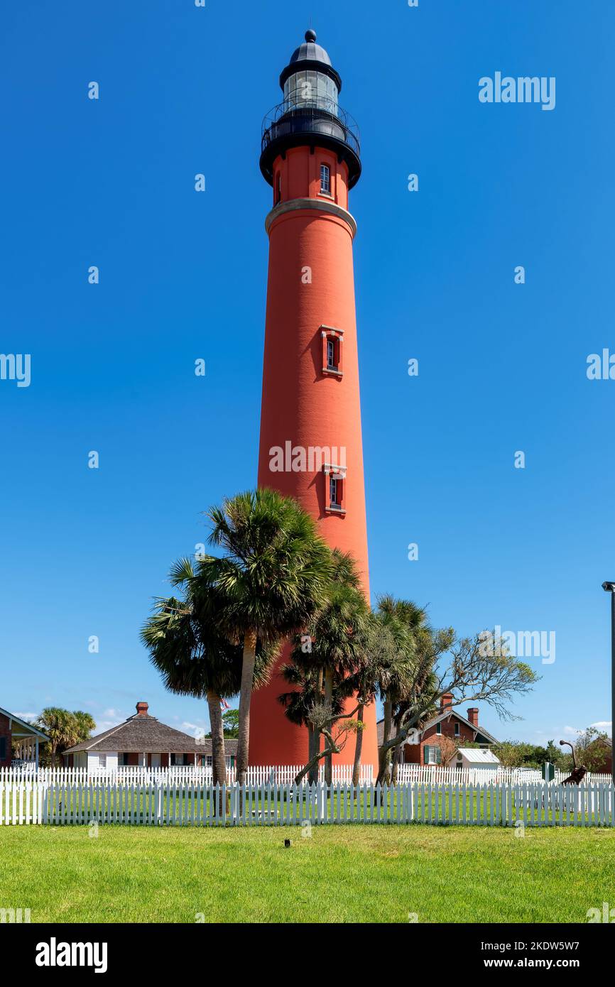
Ponce de Leon Inlet Lighthouse
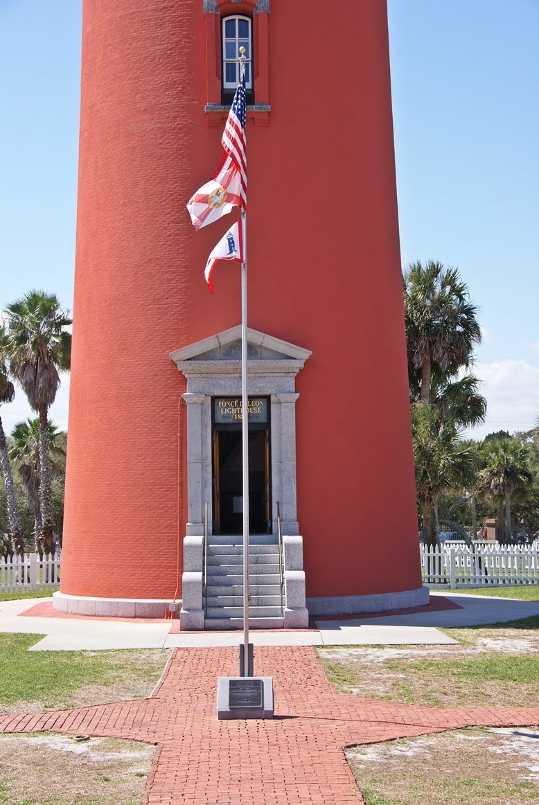
This towering beacon, known for its vibrant red brick exterior, reaches an impressive height of 175 feet. Visitors can climb its 203 steps for a breathtaking view of the Atlantic Ocean, where the cerulean waves caress the sandy beaches below. Ensure you have your map on hand to avoid missing any of its intricate details.
Views of Ponce Inlet and New Smyrna Beach

The panoramic vistas from various points along the coastline are nothing short of spectacular. The juxtaposition of the lush green vegetation against the vibrant blue water creates a captivating tapestry. Utilize the local maps to find hidden viewing spots that may not be widely known.
Exploring Nearby Attractions
Venture beyond the lighthouse and into the surrounding natural beauty. The parks in the vicinity provide ample opportunities for birdwatching, kayaking, and fishing. With your map, chart a course through the natural trails that wind alongside the inlet, beckoning the outdoor enthusiast.
Ponce de Leon Inlet Museum
